Using geospatial technologies to understand dryland dynamics
![]() No. 51, May/June 2002
No. 51, May/June 2002
Using
geospatial technologies to understand dryland dynamics
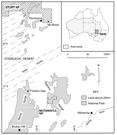 |
The focus for this work is the far northwestern corner of New South Wales (NSW), on the southeastern margin of the Australian arid zone. |