Using geospatial technologies to develop
participatory tools for natural resources management
![]() No. 53, May/June 2003
No. 53, May/June 2003
Using geospatial technologies to develop
participatory tools for natural resources management
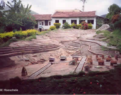 |
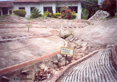
As shown in the photographs left and below, one technique MYRADA uses to help villagers visualize the results of its project activities is to build actual physical models. In these pictures, soil conservation structures have been modeled at the MYRADA Germalam Project headquarters in Arepalayam. |
 |