Land Use Scenario
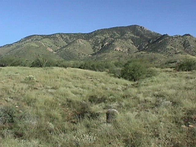
The Santa Rita Experimental Range (SRER), founded in 1903, has been the pioneer site for researching the semi-arid rangelands of the southwest. With nearly a century of collected data and numerous research projects, the SRER has provided invaluable insight on managing tens of millions of acres of semi-desert grassland in both the United States and Mexico. Now, the SRER data has found a new use as an instructional tool for a wide range of classroom settings. Within this site, you will find 360 degree panoramas of selected sights within the SRER, a Land Use Module which predicts appropriate land uses for areas within the SRER, an in-depth explanation of the module (how it works, various components, and accuracy), and finally a series of links related to the project. Although, this particular site was created for use within English Composition 101, the same scenario and collection of data could be used for a wide range of courses (economics, GIS, rangeland management, wildlife management, etc.).
Instructions Panoramas Explanation Additional Resources Module