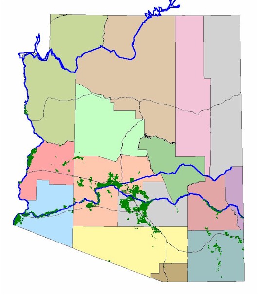
Arizona Cotton Sections (1 square mile) containing fields frequently planted in cotton in Arizona are shown in green. Black lines are interstate highways. Blue lines are major rivers. Click on the image for more detail in southern Arizona. |
|
Return to previous page |
|
U of A Geostatistics | U of A Plant Pathology GIS Home | U of A GIS User Group |