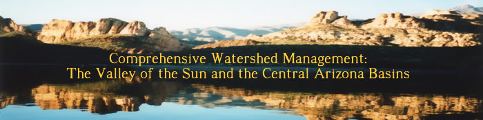
Watersheds in
arid regions of the Southwestern U.S. are unique in several ways.
Sustained periods of drought, periodic flash flooding and devastating
wildfires are defining characteristics that result in a high degree
of disturbance. Rapid population growth and increased recreational
use are additional stressors to an increasingly finite resource. This
project examines river and reservoir systems in Central Arizona specifically
the Salt and Verde Rivers and their major reservoirs, Roosevelt, Apache,
Canyon, Saguaro and Bartlett; the Central Arizona Project canal and
it's storage reservoir, Lake Pleasant. These watersheds constitute
an area larger than the states of Connecticut, Delaware, New Jersey
and Rhode Island combined.
News
Update!
 September
Water Quality Report, 1.95 MB
September
Water Quality Report, 1.95 MB
July
Water Quality Report, 1.24 MB
 Algal Toxin
Presentation, 2.82 MB
Algal Toxin
Presentation, 2.82 MB
Annual Watershed
Conference
November 30, 2004, Arizona Department of Environmental Quality
Agenda
with links to presentations (requires Adobe Reader).
The focus of
this website is to provide our sponsors with access to data. For this
reason, the data and maps sites are restricted sites. The rest of
the site is accessible to anyone in search of information on water
sampling in Arizona.